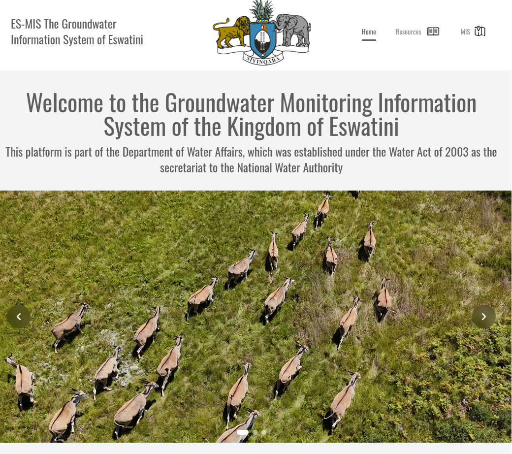
An interactive groundwater map of a whole country, built with the hydrogeologist Christoph Lohe for Eswatini's water department.
How it started
Not every project starts with a job posting. Through my parents I met Christoph Lohe, a hydrogeologist working in Eswatini. He had a country’s worth of groundwater data and no good way to show it. We built one together, and the project later became the topic of my bachelor’s thesis.
A country’s water on one map
The site belongs to the water department of Eswatini’s Ministry of Natural Resources and Energy. Next to background on the department, its projects and the book Groundwater Resources of Eswatini (2025), the heart of it is the map.
More than a dozen layers stack on top of each other: borehole yields, groundwater level, recharge and flow direction, hydrogeological units, rock types, precipitation, soil, springs, water quality and water type, fluoride, dissolved solids and vulnerability. Each one has its own legend. Rock and soil types are drawn with hatch patterns (dots, stripes, plus and minus signs), just like on a printed geological map.
Small on purpose
No backend, no database, nothing to keep alive. Every dataset ships as part of the React app, and the whole thing is a static site on S3 behind CloudFront, set up with Terraform. For a site that has to keep working without a developer on call, that’s a feature.
Where it is now
The site is offline at the moment, since the project is no longer funded.
Gallery